Panama Earthquake 7.6: What Happened, Where the Damage Was Worst and Was There a Tsunami?
A powerful earthquake struck Panama on October 9, 2026. A simple explainer on the damage, the aftershocks, and the tsunami warning that later passed.
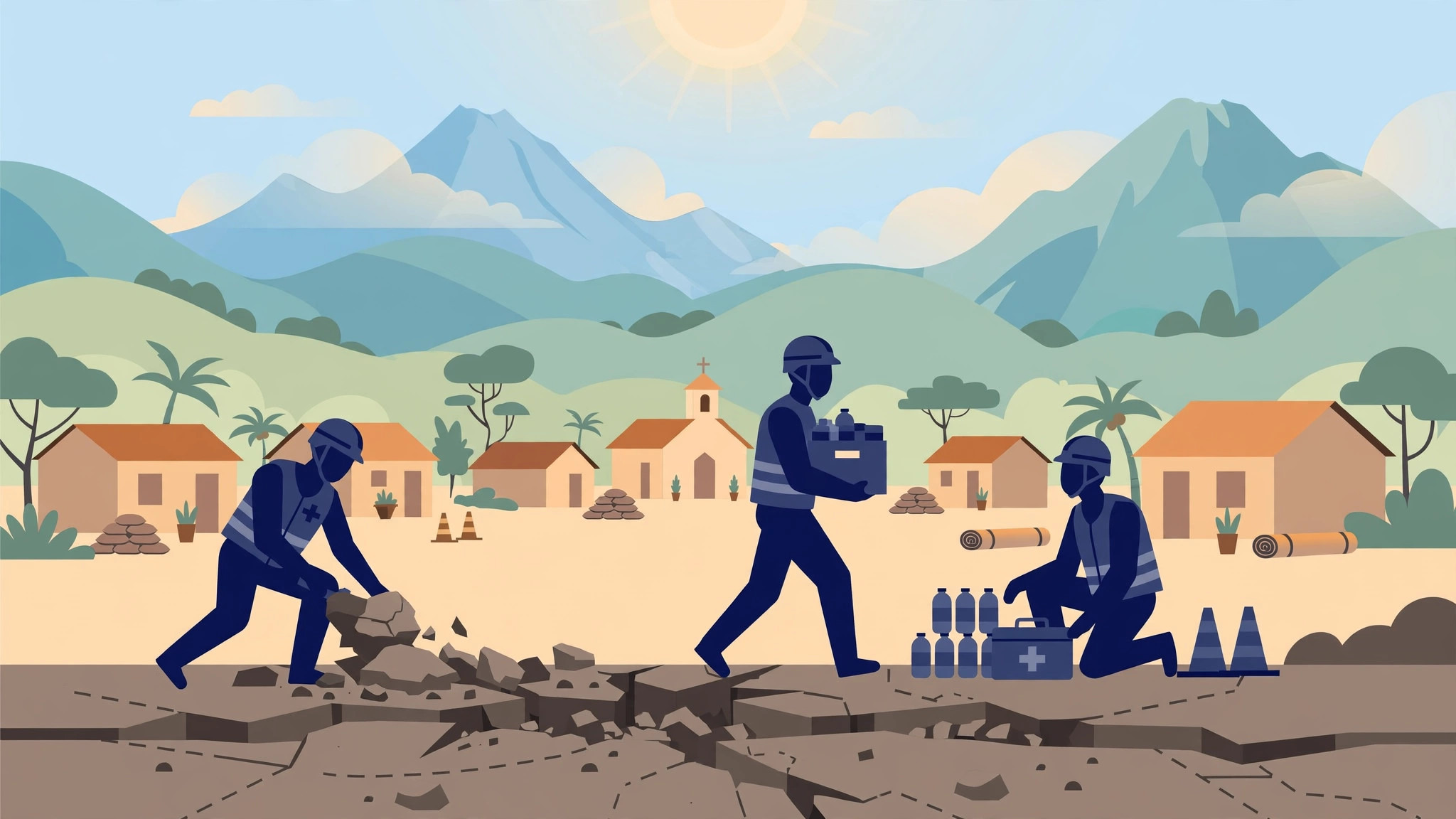
On Friday, October 9, 2026, a powerful earthquake struck Panama. Buildings and roads collapsed in some areas, people evacuated tall buildings in the capital, and a tsunami warning was issued for coasts across the region.
Let’s go through it slowly and respectfully — what happened, where the damage was worst, and what officials said in the first reports.
The short version
The US Geological Survey first measured the earthquake at 8.0, then revised it to 7.6 and later to 7.7. Its epicentre was about 10 km from the small town of Pitaloza Arriba in Herrera province, at a depth of about 10 km. A second quake of about 6.6 followed, and more than 80 aftershocks were reported. Buildings and roads collapsed near the centre of the country, but no casualties were immediately reported, according to AP reports. A tsunami warning was issued for several countries, and the threat later passed.
Why did the size of the earthquake keep changing?
You may have seen three different numbers for this one quake: 8.0, 7.6 and 7.7. That has a simple explanation.
The US Geological Survey first measured it at 8.0, then revised it to 7.6, and later to 7.7. In the first hours, scientists work with early information, and as more readings come in, the estimate is adjusted. A revision is a normal part of how these measurements improve.
Either way, this was a powerful earthquake. Its epicentre — the point on the surface closest to where the quake began — was about 10 km from the small town of Pitaloza Arriba in Herrera province, at a depth of about 10 km, which is relatively shallow. Shallow earthquakes are often felt more strongly at the surface.
Where was the damage worst?
Damage was concentrated in the Veraguas, Herrera and Los Santos provinces, near the centre of the country. Reports said buildings and roads collapsed in that area, and local TV showed a cathedral in Penonomé that had collapsed.
A collapsed cathedral is a painful image for any community — buildings like that are much loved, and part of a town’s identity. Collapsed roads matter too, because they can make it harder for help to reach people.
At the same time, the first reports carried one piece of relief: no casualties were immediately reported, according to AP reports. That means no deaths had been confirmed in those early reports — not that the final picture was already known.
Further away, no damage was reported in the capital, Panama City, about 200 km away. People there still felt the quake, though, and evacuated tall buildings as a safety step.
A second quake and more than 80 aftershocks
The first earthquake was not the end of the shaking. A second quake of about 6.6 followed, and more than 80 aftershocks were reported.
Aftershocks are smaller earthquakes that follow a main quake in the same area. Some are barely felt, but a quake of about 6.6 is strong in its own right. For people near the epicentre, each aftershock brings fresh worry about already damaged buildings.
This is why officials ask people to stay careful after the first shaking stops. A building weakened by the main quake can be brought down by an aftershock, so staying away from damaged buildings can save lives.
The tsunami warning — and the threat that passed
After the earthquake, a tsunami warning was issued for the coasts of Panama, Colombia, Costa Rica, Ecuador, Peru, Nicaragua, Guatemala, El Salvador and Mexico. That’s a long list of countries, and a warning like that naturally causes fear in coastal communities.
A warning like this is a safety step, telling people near the sea to follow official guidance while experts check whether dangerous waves are coming.
In this case, the threat later passed — welcome news for every country named. That doesn’t mean the warning was a mistake: it’s far better to warn early and stand down later than to stay silent and be wrong.
What did Panama’s president say, and why do quakes happen there?
President José Raúl Mulino called it a major disaster and asked people to stay calm. That matters in a crisis: calm communities share information more clearly, keep roads open for emergency help, and look after neighbours.
Panama lies along the Pacific “Ring of Fire” — despite the name, this isn’t about flames. It’s a region around the Pacific Ocean where the earth’s crust is especially active, and powerful earthquakes are a known risk.
Living in such a region means preparation matters — clear evacuation habits and quick official warnings help protect people when the ground moves. For communities in Veraguas, Herrera and Los Santos, the coming days will be about recovery. Our thoughts are with everyone affected.
Common questions
How strong was the Panama earthquake on October 9, 2026, and where was its epicentre?
The US Geological Survey first measured it at 8.0, then revised it to 7.6 and later 7.7. Its epicentre was about 10 km from Pitaloza Arriba in Herrera province, at a depth of about 10 km.
Were there any casualties in the Panama earthquake?
No casualties were immediately reported, according to AP reports. Damage was concentrated in the Veraguas, Herrera and Los Santos provinces, while no damage was reported in Panama City, about 200 km away.
Was there a tsunami after the Panama earthquake?
A tsunami warning was issued for the coasts of Panama, Colombia, Costa Rica, Ecuador, Peru, Nicaragua, Guatemala, El Salvador and Mexico, and the threat later passed.